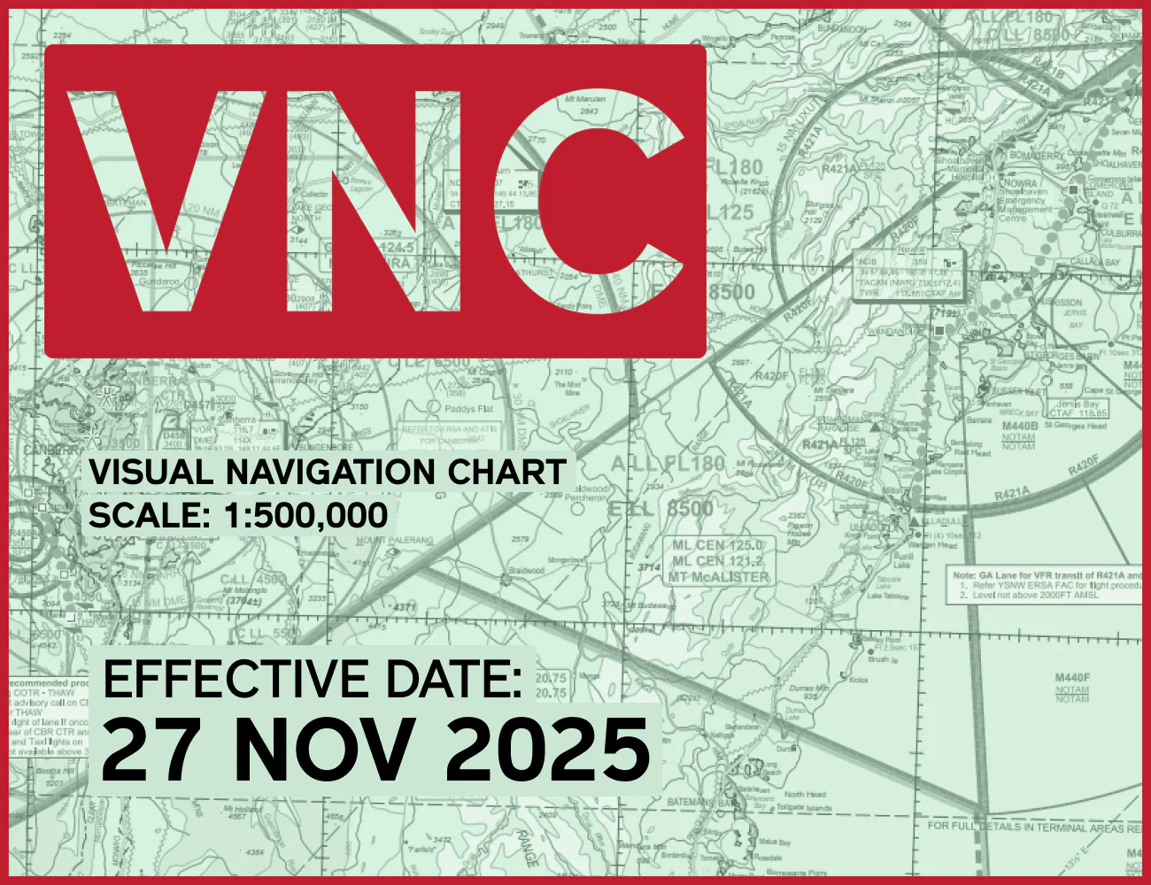


Australian WAC - World Aeronautical Charts
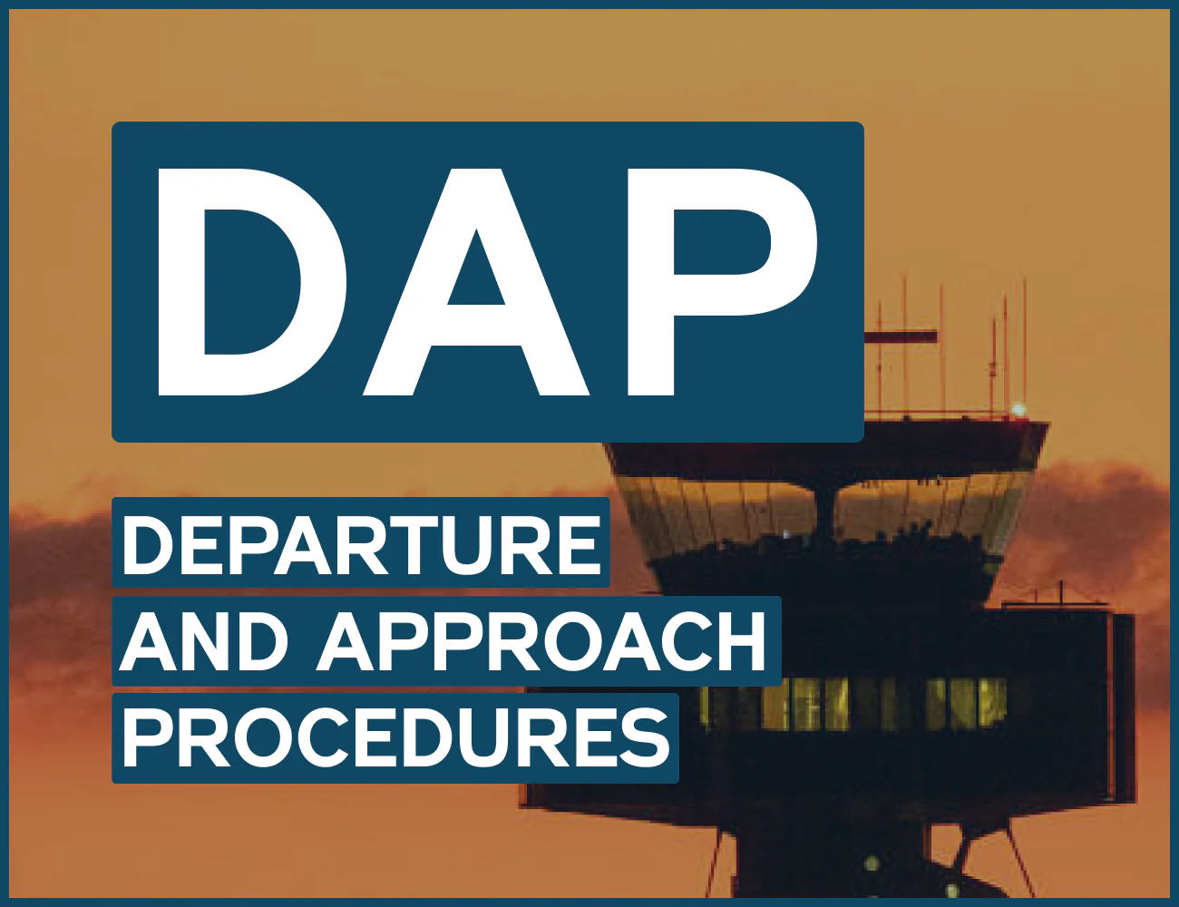
These Australian charts are part of the ICAO 1:1,000,000 international series. Designed for pre-flight planning as well as pilotage, WAC are constructed using Lambert's conformal conic projection and conform to ICAO specifications. WAC charts generally do not show much aeronautical data. Only aerodrome names and locations, and restricted/danger areas are included.
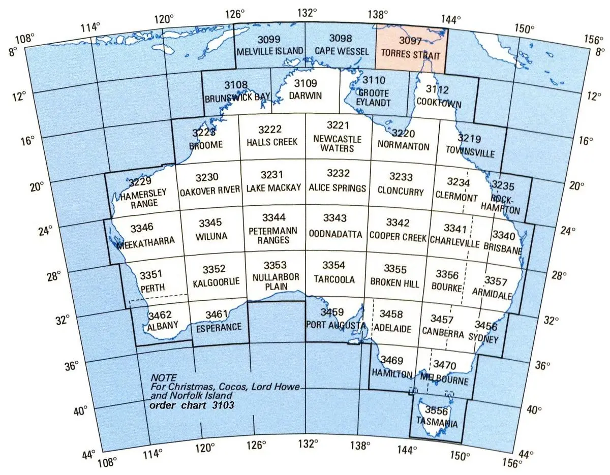
Available WAC Charts:Adelaide
Albany
Alice Springs
Armidale
Bourke
Brisbane
Broken Hill
Broome
Brunswick Bay
Canberra
Cape Wessel
Charleville
Clermont
Cloncurry
Cooktown
Cooper Creek
Darwin
Esperance
Groote Eylandt
Halls Creek
Hamilton
Hammersley Ranges
Kalgoorlie
Lake Mackay
Meekatharra
Melbourne
Melville Island
Newcastle Waters
Normanton
Nullarbor Plain
Oakover River
Oodnadatta
Perth
Petermann Ranges
Port Augusta
Rockhampton
Special Islands
Sydney
Tarcoola
Tasmania
Torres Strait
Townsville
Wiluna
Original: $10.45
-65%$10.45
$3.66Product Information
Product Information
Shipping & Returns
Shipping & Returns
Description
These Australian charts are part of the ICAO 1:1,000,000 international series. Designed for pre-flight planning as well as pilotage, WAC are constructed using Lambert's conformal conic projection and conform to ICAO specifications. WAC charts generally do not show much aeronautical data. Only aerodrome names and locations, and restricted/danger areas are included.
Available WAC Charts:Adelaide
Albany
Alice Springs
Armidale
Bourke
Brisbane
Broken Hill
Broome
Brunswick Bay
Canberra
Cape Wessel
Charleville
Clermont
Cloncurry
Cooktown
Cooper Creek
Darwin
Esperance
Groote Eylandt
Halls Creek
Hamilton
Hammersley Ranges
Kalgoorlie
Lake Mackay
Meekatharra
Melbourne
Melville Island
Newcastle Waters
Normanton
Nullarbor Plain
Oakover River
Oodnadatta
Perth
Petermann Ranges
Port Augusta
Rockhampton
Special Islands
Sydney
Tarcoola
Tasmania
Torres Strait
Townsville
Wiluna